
Work Through a St. Peters Street Directory
A street-level search is an address-to-record process, not a list of everyone on a road. Start with the current situs address in the county map. A situs address is the physical location attached to the tax parcel. Capture the parcel ID, legal description, subdivision, lot or block, and the owner and mailing fields before trying to connect a person to the address. Those identifiers remain useful when an old deed uses a land description instead of a present-day street number.
- Enter the address in the St. Charles County GIS or assessor lookup. Save the returned situs, parcel ID, legal description, subdivision information, owner field, and the date viewed.
- Use the parcel polygon to inspect the immediate street segment. County GIS can show parcels, planning and zoning, utility and voting districts, and current or historical aerial imagery.
- Read the property record as a tax snapshot. A listed owner or mailing address may be useful for a family-history trail, but neither proves who occupies the address now.
- Search the owner and legal description in the Recorder of Deeds index. Record the instrument number, document type, recording date, grantor, grantee, and legal description for each relevant conveyance.
- For dated household evidence, compare library directory volumes, census records when public, newspapers, and voter information obtained through the proper channel. Each source should be tied to its own date.
The parcel ID is the strongest join between tax and map layers. The legal description is the strongest bridge into older deed records. A street name is helpful for orientation, but it is not a reliable substitute for either field.
St. Peters Address Records Along a Street
Several St. Charles County and city sources are keyed to an address, parcel, or recorded land description. They do not create a public household roster. Together, they can document the parcel on a street, the tax record, a dated conveyance, civic geography, and a possible permit chronology. Keep the source and retrieval date with every fact because each system updates on its own schedule.
| Address-Keyed Record | Custodian | Useful Fields | Access Route |
|---|---|---|---|
| Assessor and tax layers | St. Charles County Assessor/GIS | Parcel ID, owner, situs and mailing addresses, property type, municipality, legal description | County lookup layers and GIS tools |
| Parcel and mapping layers | St. Charles County GIS | Parcel boundary, aerials, planning/zoning, utility and voting districts | Interactive map, Identify, export, print |
| Recorded instruments | St. Charles County Recorder of Deeds | Grantor, grantee, instrument, recording date, document type, legal description | Tapestry, Laredo, or office research |
| Voter registration information | St. Charles County Election Authority | Public-file fields include name, address, year of birth, and elections voted | Individual state check or a scoped county request |
| Permit and planning lead | City of St. Peters | Possible permit, inspection, planning, or development chronology | CitizenServe and city records, with public-search scope unverified |
The city identifies CitizenServe for permits, inspections, planning, zoning, and development, but the available research did not verify its public search fields, archived coverage, or image access. Treat it as a possible chronology lead, not a complete record of people connected with an address. When city-held records are needed, a request to the City Clerk must identify the record as closely as possible; the ordinary city form excludes police and municipal-court records.
The voter route has a separate limit. Missouri’s individual voter lookup requires first name, last name, date of birth, the last four digits of a Social Security number, and county. It is not a street roster. The Election Authority says registration files are public but not for commercial use; its published request guidance calls for the requestor’s contact information and a countywide or political-subdivision scope. No current public form, price, file format, or address-sort option was verified, so those details should be confirmed with the office before making a request.
For a careful street trail, write down the exact address form returned by each source, including directional words, road abbreviations, unit information when supplied, and the date searched. A city label, a school district, a fire district, a ward, a voter precinct, and a postal ZIP are different geographic systems. County tax data also reports municipality, neighborhood code, quality code, and updated date. Those fields can explain how a record is classified, but they should not be converted into claims about every person on the street.
St. Peters Street Search Fields
The St. Charles County Assessor lookup service exposes the county’s parcel schema even when the public viewer changes. Begin with the site address, then preserve the returned parcel and owner information exactly as displayed. Mailing fields are result fields, not evidence that someone lives at the situs.
| Situs or site address | Address-search starting point. Preserve the returned physical address rather than assuming a mailing address is the same. |
|---|---|
Owner, Owner_name | Optional name-query field in the schema and a tax-record result. It identifies an ownership lead, not occupancy. |
| Mailing city, state, and ZIP | Returned contact fields that can differ from the situs. Use them only as a dated tax-record detail. |
| Parcel ID and account number | Identifiers for joining assessor, tax, GIS, and recorded-land research. An account number is not a recorder instrument number. |
| Municipality and property type | Result or category fields. Compare municipality with the parcel and map, not merely a postal label. |
| Search, Identify, Clear, Export, Print | County GIS help documents Search Bar, Identify, Clear Graphics, JPEG export, print/PDF, and Advanced Identify with tabular Excel export. |
The tax-information layer also lists date updated, owners, site and mailing addresses, property type, municipality, fire and school districts, neighborhood and quality codes, and legal description. District and quality codes describe assessment or civic context. They do not establish a household, a city limit, or a postal boundary.
- Parcel
- A tax-mapped piece of land. The parcel ID is the practical link among county map and assessment layers.
- Situs address
- The physical address assigned to the parcel, distinct from a mailing address used for correspondence.
- Plat
- A recorded map that lays out a subdivision, lots, blocks, streets, or easements. It can help connect a legal description to a developed street.
- Criss-cross directory
- An address-ordered directory section, if a volume has one. The verified local inventory does not confirm a St. Peters reverse volume, so check library shelves and catalog entries before relying on one.
St. Peters Street Address Mismatches
Keep the situs address, mailing address, legal description, parcel ID, and account number in separate columns of a research note. The tax and GIS layers can show a physical situs and a different mailing address. A recorder instrument may use a lot, block, subdivision, or metes-and-bounds description instead of the modern street address.
Postal labels need the same care. A ZIP, city name, ward, precinct, school district, or fire district answers a different geographic question. Confirm a particular address in the county parcel layer and the postal lookup rather than treating a ZIP or mailing city as proof of municipal location.
Map a St. Peters Street by Parcel
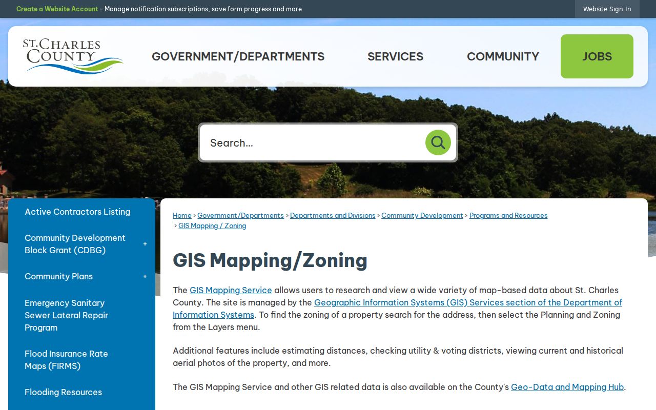
The county’s GIS Mapping and Zoning page is the address-to-parcel bridge for a street search. After finding an address, use Identify or Advanced Identify on the parcel and turn on only the layers needed for the question. The county documents current and historical aerials, planning and zoning, utility and voting districts, map export, print/save PDF, and Excel export from Advanced Identify. A whole-street view is made by panning a segment and selecting adjacent parcels. The research did not verify a dedicated street-wide download or a direct whole-street search button.
The county mapping entry point provides the visual context for that parcel work.
Use an exported map as a research note, retaining its lookup date, displayed layers, and legend. It supports a parcel trail, but it should not be used to publish a street-by-street list of names.
The city’s free Make a Map is a useful second geography check. It covers the city’s four wards, parcels and subdivisions, streets, zoning, and floodplain. Comparing its city layers with county parcel records helps keep municipal, subdivision, and land-record questions separate. No official source reviewed here documented a citywide street renumbering, named street-renaming project, or address-change year. For an older property, start from the current legal description and test historical number or street-name variants in deeds, directories, and newspapers instead of assuming a renumbering occurred.
Map controls matter when preserving a result. The county help materials document the Search Bar, Clear Graphics, Draw and Measure, Bookmarks, legend, print or PDF save, JPEG export, and a sharing link. Advanced Identify can return a table for Excel export. Retain the layer name and date, and export only the minimum context needed for a private research file. A parcel outline and an aerial photograph can help distinguish two similarly named streets, but neither adds a current-resident field to the record.
St. Peters Street Civic Layers
Use the city map after the county parcel has been identified. St. Peters Make a Map includes streets, parcels, subdivisions, zoning, floodplain, parks, and the city’s four aldermanic wards. The online map is free and supplies city-side context that the county assessment record does not.
These layers should remain labels for geography, not labels for a household. A parcel can sit in a subdivision and a ward while its mailing city, school district, postal ZIP, and voting geography differ. Preserve the source and layer date when comparing a city map with county GIS.
St. Peters Street Permit Leads
City Building Safety identifies CitizenServe for permits, inspections, planning, zoning, and development work. For an address history, a permit can supply a date and a description of construction, remodeling, electrical, mechanical, or plumbing activity that helps place a parcel in a physical timeline.
The public-facing search was not fully verified in the research. Its fields, archived period, result limits, and document images should be checked before relying on it. A CitizenServe result is a chronology lead, not a complete list of every person or event associated with a St. Peters address.
St. Peters Street Voter Limits
The state’s individual voter portal is designed to verify one registration with exact personal fields and a county selection. It cannot be used to browse a street. St. Charles County’s Election Authority says registration files are public and lists name, address, year of birth, and elections voted as public fields.
For a permitted county-file request, ask the Election Authority whether the needed scope can be supplied and how the no-commercial-use rule applies. The published guidance does not verify a block-level product, address sorting, a file format, fee, or delivery timetable. Polling-place search provides precinct geography, not a roster of names.
St. Peters Street Deed and Directory Trail
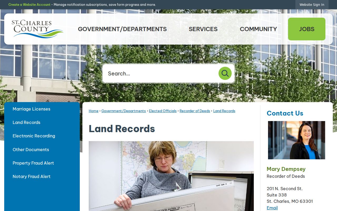
The Recorder of Deeds holds recorded land instruments, including deeds and liens. Its deed index captures the parties, instrument number, recording date, document type, and legal description. For occasional remote searches, the county describes Tapestry as a 24-hour service with a per-search charge. Laredo is subscription access for regular searching. The county also offers free research in the third-floor research area at 201 N Second Street, Suite 338, St. Charles, Monday through Friday from 8:00 a.m. to 4:30 p.m. Copies are $1 per page.
The county’s Land Records page explains those access routes and the Recorder’s services.
A deed documents a conveyance, not residence. Pair a deed with a dated directory, census record, voter information obtained lawfully, or newspaper item before drawing a conclusion about a past household. The Recorder says a Certificate of Value is retained by the Assessor for a deed transfer, while the deed itself is returned to the grantee after recording or microfilm processing.
For recorder records on or after January 1, 1970, the Missouri Archives guide directs researchers to the local Recorder under RSMo 59.003. Earlier books and microfilm may require an Archives or local-repository search. The St. Louis County Library identifies St. Charles directory holdings, but it does not verify a separate St. Peters reverse or criss-cross volume. Search the catalog and shelves for those terms, then record the volume year, page, spelling, and medium when an address entry is found.
The library’s verified St. Charles run includes microfilm years from 1906 through selected years ending in 1959, with later print or reference volumes and county phone books that include St. Peters in 1987-1988. An entry can be an excellent date marker, yet directory compilers worked from information gathered before publication. Compare the closest preceding and following volume, then use the address, surname, and legal-description trail to resolve a move or a similarly named person. No separate digitized St. Peters city-directory scan was identified in the research.
St. Peters Street Directory Privacy Limits
Parcel ownership and a mailing address do not prove occupancy. Utility accounts, delivery records, and the names of other household members are not public address-directory fields. Federal DPPA rules restrict personal DMV information, so a driver-license address is not a legitimate street-search source. Missouri Safe at Home gives eligible participants a substitute address and related government-record protections; do not try to connect a substitute address to a protected location.
Use only the minimum record detail needed for family history, personal research, an heir question, or civic curiosity. If a source is wrong, contact the office that maintains it with the parcel, instrument, or other official reference rather than altering a copy. The record’s custodian is also the right source for current access rules.
Lawful personal use. St. Peters street and parcel records should be used for legitimate, personal research. Missouri’s anti-stalking law addresses conduct that causes fear, alarm, or distress; never use an address trail to monitor, threaten, harass, or make unwanted contact with anyone.