
St. Peters Neighbors by Block
The block around an address has several record layers, but none is a complete household list. County GIS establishes the parcel footprint and adjacent parcel IDs. Assessor fields may show the owner, mailing address, and site address captured in that system. City layers add subdivision, ward, park, zoning, floodplain, and street context. The trustee list can offer a local contact lead. Each source answers a different question, and each has limits.
| Source | What It Shows About a Block | Access |
|---|---|---|
| St. Charles County GIS | Target parcel, adjacent parcels, subdivision boundaries, and reference layers | Public map and documented identify or export tools |
| Assessor parcel fields | Owner, mailing and site-address snapshot, parcel ID, and legal description | Public fields vary by county layer |
| St. Peters Make a Map | Ward, parks, zoning, floodplain, parcels, subdivisions, and streets | Free online city map |
| Subdivision trustee list | Named subdivision, ward, contact lead, and listed bylaw or indenture links | Public city list, not title proof |
| Election sources | Address-based precinct geography or permitted voter-file terms | Individual tool and county-file restrictions differ |
Owner, mailing, and situs fields serve different functions. A mailing address can be elsewhere, while a situs address identifies the parcel. Neither field proves that a particular person occupies the property. Renters and other household members are not established by a parcel-owner record. Use a minimal amount of personal data, and never expose names in a general screenshot just because an underlying layer displayed them.
For historic block questions, a county directory or newspaper can add a dated household clue, but it should remain separate from current parcel data. A boundary is a geography fact. A person or household conclusion needs its own properly dated source.
Map St. Peters Neighbor Parcels
A block method begins at one address and works outward through parcel boundaries, rather than guessing from a street-name search. The county's interactive mapping service supports address search, identify controls, data export, and reference layers. Turn on parcels and subdivision boundaries before selecting the target parcel. Capture the parcel ID and legal description as research notes. Those stable fields are more useful than a copied name.
- Search the address in St. Charles County GIS and identify the target parcel.
- Turn on parcel and subdivision boundaries, then use Identify to note each immediately adjacent parcel ID.
- Open each adjacent parcel separately and compare its site, mailing, owner, and legal-description fields as dated snapshots.
- Use the subdivision name or map layers for local context, then stop at the small block area actually needed.
A full street has a different record chain, including address history and a broader parcel sequence. Use the St. Peters street directory for that street-wide task. For a neighbor question, keep the scope to the target parcel and its immediate surroundings.
Note: Save the source date and parcel IDs, not a general screenshot that reveals more personal information than the question requires.
St. Peters Neighborhood Map Layers
County geography layers can add cemeteries, subdivisions, school boundaries, public-safety boundaries, and ZIP areas to the parcel view. The city has a separate free Make a Map service with ward, parks, zoning, floodplain, parcels, subdivisions, and streets. St. Peters has four aldermanic wards. A ward or ZIP is civic or postal context, not proof of an association, household, or city-limit answer for every address.
The city-map controls are useful for understanding why two homes appear close together but fall in different subdivisions or civic areas. A park, floodplain, or zoning layer adds place context. It does not identify residents. County GIS can export table data through its Advanced Identify functions; take only the fields needed for a parcel or boundary question.
A subdivision boundary also is not a parcel boundary. The first places a home in a named development context; the second identifies the tax parcel to investigate. Keeping both fields avoids mixing map context with ownership evidence.
The city Make a Map page is the source for this view of St. Peters map options.
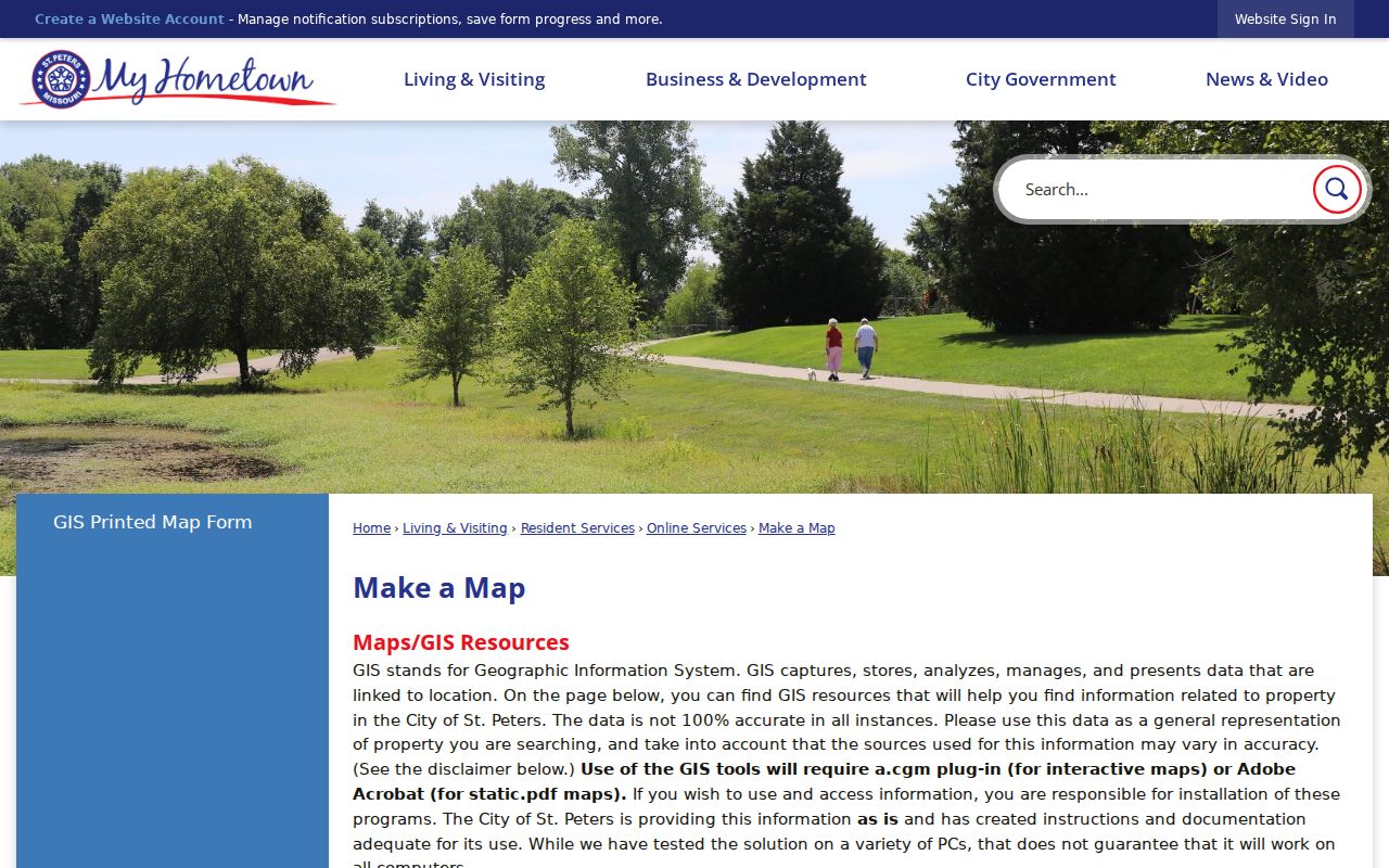
Ward, park, and parcel layers give a block a civic setting without creating a list of the people who live nearby.
St. Peters Association Contacts
The city-maintained subdivision trustee list is a contact lead, not a recorded declaration and not proof that an association is active. It lists subdivisions, wards, trustees, contact information, and, where available, bylaw or indenture links. It also includes explicit no-association labels. Treat the list as a way to locate a current local contact or a document lead, then verify any property or governance claim in the appropriate recorded source.
| Subdivision entry | City list detail | How to use it |
|---|---|---|
| Amhurst | No association label | Do not infer an active organization from the subdivision name |
| Applewood and Orchard Hills | Bylaw links | Read the listed document and confirm current relevance |
| Hidden Lake Estates | No association label | Use the label as a limit, not a claim about every civic group |
| Huntleigh Estates | Indenture and trustee information | Use as a lead for the relevant recorded context |
| McClay Valley and Tanglewood | HOA or resident-association label | Contact only through the current official listing |
The City of St. Peters trustee list supplies the source image and the complete current inventory. Omission from a representative table is not evidence that a subdivision lacks an organization.
Use official contact channels instead of copying a trustee's personal details into a broad block profile. Bylaws and indentures may describe an organizational framework, but the list itself does not decide title, membership, or the current status of a group.
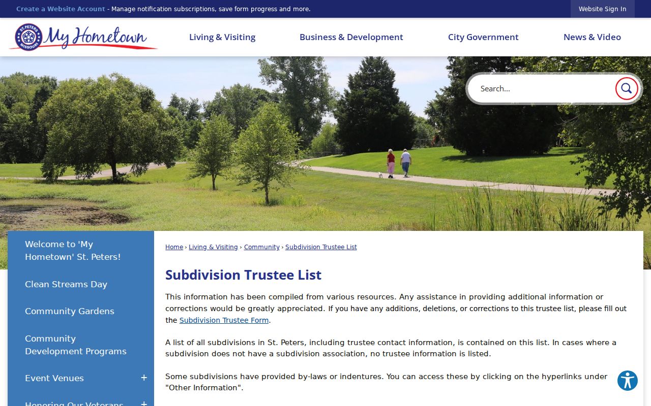
The city list distinguishes contact and document leads from evidence about title, membership, or who currently lives in a subdivision.
St. Peters Neighborhood Watch
Neighborhood Watch is a separate civic layer. The St. Peters Police community-program information describes groups that generally cover 10 to 15 homes and meet at least twice yearly to remain active, with police facilitation. Topics include suspicious activity, home security, child and personal safety, internet safety, drug awareness, fraud, and scam prevention. It is a practical way to build a local safety conversation without turning parcel records into surveillance.
A Watch group is not an ownership record, association roll, or household directory. The property map and trustee list may help identify a suitable local contact, but neither proves Watch participation. Keep the distinction clear when looking for St. Peters neighbors: civic networks describe voluntary involvement, while parcels and deeds describe land records.
St. Peters Neighbor Roll Limits
Missouri's individual voter lookup cannot create a block roster. It requires the registered first name, last name, date of birth, last four Social Security digits, and county. It is designed to verify an exact individual input. Do not publish its sensitive fields, and do not read a failed result as proof that someone is not registered or does not live nearby.
St. Charles County says voter-registration files are public, identifies name, address, year of birth, and elections voted as public fields, and prohibits commercial use. The county allows requests with countywide or political-subdivision scope, but its published FAQ does not guarantee an address filter, block-level output, format, fee, or delivery time. The polling-place search gives a precinct for an address, not the names within that precinct. Ask the Election Authority what permitted scope is available rather than assuming a street can be converted to a roster.
County list maintenance can draw on returned mail, driver-license information, and assessor or recorder conveyances, according to the county FAQ. Those administrative sources do not turn an inactive status or a change notice into proof of where a person is physically present today.
St. Peters Neighbors and Data
Official records have a defined keeper, a known update process, and stated access limits. County GIS and assessor systems can establish a parcel's map and owner or mailing snapshot. The city mapping service explains geography. The trustee list identifies city-posted contacts and document links. Those sources still need date, field, and access-limit checks, but they identify what they are showing.
Commercial neighbor-lookup tools are a separate category. They may combine brokered and public fragments, present uncertain update dates, and vary in their correction or opt-out process. Do not treat a commercial result as verified, and do not use it to fill gaps left by a protected address, unavailable household member, or restricted record. An official custodian remains the proper place to verify a case, parcel, election, or vital-record question.
That difference matters when a source disagrees with a current parcel layer. Return to the named county, city, court, election, or state custodian and check its record date and field definitions. Do not resolve a conflict by adding more personal details.
St. Peters Neighbor Lookup Limits
Many details should remain outside a block search. Renters and household members are not established by parcel ownership data. Utility information is not a public neighbor index. Missouri Safe at Home protects eligible participants through a designated substitute address, mail forwarding, and confidentiality rules for covered government uses. Do not attempt to reverse a substitute address or use a record gap to make an inference. No official public live St. Charles County jail roster was located in the research sources.
Use a neighbor lookup for personal reconnection, local-history questions, or a legitimate civic purpose. Do not monitor people, disclose sensitive fields, intimidate a household, or pressure a trustee or public employee for information that is not available. If an immediate safety concern exists, contact law enforcement rather than building a records trail.
Protected addresses, limited court records, and unavailable utility or renter information are boundaries to respect, not gaps to work around. Limit notes to the parcel, boundary, or civic fact that actually answers the question.
Privacy and lawful use. RSMo 565.225 addresses stalking conduct that causes fear, alarm, or distress. Public records do not permit watching, threatening, harassing, or intimidating St. Peters neighbors.