
St. Peters Previous Residents by Era
Begin the backward trail with the era in which the address is being investigated. A current parcel can anchor recent records, while an older tract may appear only as a legal description, a road reference, or a county settlement. The source mix changes as St. Peters moved from county and rural context into an incorporated town and later a city. Record the exact volume, image, page, or instrument reference at every step.
| Source | Years It Covers | Where Held | What It Shows |
|---|---|---|---|
| Deed, tax, church burial, early paper, and map sources | 1850-1909 | Recorder, Archives, SCCHS, and original church records | Land description, family or church links, and early place clues |
| Recorder, directory, local paper, and vital sources | 1910-1949 | County offices, library, historical society, and state channels | Town-era property trail, household or business mentions, death and marriage leads |
| Assessor/tax, permit or code, directory, and aerial sources | 1950-1979 | County GIS, city records, library, and map collections | Subdivision and municipal-growth chronology |
| County phone book, parcel, newspaper, and subdivision sources | 1980-1999 | Library, Recorder, GIS, SCCHS, and city materials | Address continuity and neighborhood context |
| GIS/assessor, CitizenServe, city record, and association sources | 2000-present | County and City of St. Peters systems | Current parcel, mapping context, permits, land-use, and association lead |
A deed or tax entry can identify an owner, but it does not establish that the named person lived at the property. Conversely, a directory or census entry can place a household near a date without proving every property transfer. The most reliable result is a chain of independently dated records that agree on the address or legal description.
Trace St. Peters Previous Residents Through Deeds
Start with the current situs in county GIS and capture the parcel ID, legal description, subdivision, lot or block, municipality, owner, and mailing fields. The Recorder search then uses the people and land description tied to that parcel. A recorded conveyance supplies a formal date and transaction direction, making it a solid framework for earlier research even though it is not proof of who was physically present at the address.
- Find the current parcel in the St. Charles County assessor and GIS layers. Preserve the legal description exactly, since older instruments may not use today’s street number.
- Search the current owner as grantee in the Recorder index and identify the purchase or other inbound instrument. Capture the document type, instrument number, recording date, grantor, and legal description.
- Use that seller, now the earlier grantee, to find the instrument through which the seller acquired the parcel. Compare legal descriptions, subdivision, lot, and block before treating it as the same property.
- Repeat the grantee-to-grantor sequence backward. Keep a dated chain, including releases, plats, easements, or other instruments that may clarify a land description.
- When the trail reaches older material, move to local deed books, microfilm, or the Missouri Archives route rather than assuming the remote index covers the period.
- Grantor
- The party transferring an interest in a recorded instrument, often the seller in a deed transaction.
- Grantee
- The party receiving that interest. Searching a person as a grantee can reveal an earlier acquisition.
- Chain of title
- A documented sequence of transfers for the same land, tested through matching legal descriptions and dates.
- Legal description
- The formal land wording, such as a subdivision lot and block or a metes-and-bounds description. It can outlast a changed street label or number.
Deed transfers require a Certificate of Value that the Assessor retains. That workflow is useful context, but the research did not establish that every certificate is visible through a remote index. A transfer also may occur without a change in who uses the address, so add dated household sources before naming past residents.
St. Peters Recorder Routes for Earlier Deeds
The St. Charles County Recorder of Deeds holds land ownership documents and recorded instruments. Tapestry is the county’s 24-hour option for occasional researchers and charges per search. Laredo is the subscription product for regular searches. Free research is available in the third-floor research area of the Administration Building, 201 N Second Street, Suite 338, St. Charles, Monday through Friday, 8:00 a.m. to 4:30 p.m. Copies cost $1 per page.
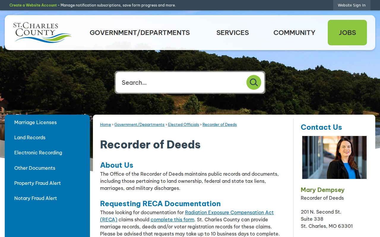
That office is the route identified by the Missouri Archives guide for recorder records on or after January 1, 1970 under RSMo 59.003. Older material may be in county or local books and microfilm or require an Archives search. The accessible research did not establish an exact start year for the online vendor index, so it is safer to test the index and plan for the office or archival fallback.
The Missouri Archives County and Municipal Records Database can be filtered by county, office type, record type, content keyword, city, and year range. It is a browse-based source rather than a complete name or subject index, and not all microfilm is digitized. For a pre-incorporation trail, also search St. Charles County, settlement, church, and land-description terms, because a historic record may not say “St. Peters.”
Recorder access is not the only research channel. The office accepts walk-in, mail, and electronic recordings, while the State Archives and local repositories provide a route to older books and microfilm. If a record request is needed, identify the grantor or grantee, approximate date, instrument type, legal description, and any parcel or instrument number already found. The county notes that staff do not provide legal advice or blank forms, so the request should seek a document or index entry rather than an interpretation of title.
St. Peters Directory and Census Household Trail
After the deed chain identifies a time window, look for the people connected to the address in dated directory and census sources. The St. Louis County Library lists St. Charles directories on microfilm for 1906; 1925-1932, 1934, 1936, 1938-1939, 1941-1942, 1948, 1950, 1952, 1955, 1957, and 1959. Its print or reference holdings include 1966, 1973-1974, 1987, and 1988. The 1987-1988 St. Charles County phone book explicitly includes St. Peters; the library also lists 1989-1990 county and 1988-1989 and 1990-1991 regional volumes.
These are collection holdings, not proof that every St. Peters address appears in each volume. No St. Peters-specific digitized directory scans or separate reverse directory run were verified. The Directory Book page identifies the collection trail; at the library, search the catalog and shelves for “reverse directory,” “criss-cross,” “street directory,” and “telephone directory” before assuming an address-order section exists.
Address → closest directory year → adjacent directory year → available census year → newspaper or obituary → deed/tax check. Transcribe a surname, initial, street spelling, number, telephone, page, volume year, and repository. Compare the prior and next directory years for moves, new or missing names, or a forwarding note. Then test the household against an available census year, using the census as one dated source rather than filling every missing year. A directory’s compilation date can differ from the year on its cover.
SCCHS is another local bridge, with property, tax, maps, newspapers, directories, and family-history files. Its burial index includes All Saints Catholic Church in St. Peters, but the original burial record remains with the church. Missouri state vital registration begins in 1910 and vital records have restricted access; a death record older than 50 years has a genealogy route. Use a burial or obituary to close a timeline only after preserving its source and date.
A person’s disappearance from a directory has several possible meanings: a move, a death, a name change, a missed compilation, or a changed address format. Test those possibilities against the prior and next volume, recorded land activity, a newspaper notice, and the appropriate vital or probate channel. The result should state what the dated source says, not fill a gap with a guess about where someone went.
St. Peters Previous Residents at SCCHS
The St. Charles County Historical Society is a local repository bridge when an address trail is thin in government indexes. Its research holdings include property and tax material, maps, photographs, local newspapers, directories, and family-history files. A directory or clipping located there should be cited by title, date, page, and repository.
Its accessible research page did not establish complete newspaper title or year coverage, and current visit details should be checked before going in person. Ask for material by address, surname, subdivision, nearby church, or legal-description clue rather than assuming every collection has a name index.
St. Peters Previous Residents Map Context
County GIS can layer current and historical aerials with parcels and subdivision boundaries, helping place a present address in its earlier land pattern. City Make a Map adds streets, wards, parcels, subdivisions, zoning, and floodplain. These map layers can show physical change and help test whether an older legal description belongs to the current parcel.
They do not substitute for a deed or a dated household source. No St. Peters Sanborn sheet was identified, so the nearby 1917 St. Charles Sanborn is only a comparison for the kind of building detail a fire-insurance map might contain. Preserve the map date and layer name with any visual observation.
St. Peters Previous Residents in Old Town
Local history can provide a well-defined starting point for a property trail. The city’s Old Town St. Peters history records an 1856 deed from Etienne Dubois to the North Missouri Railroad and connects 301 and 311 Main Street with blacksmith Henry Gue and his father, John Gue. Those details are a lead for a property-history search, not a claim that any named person occupied an address during a particular period.
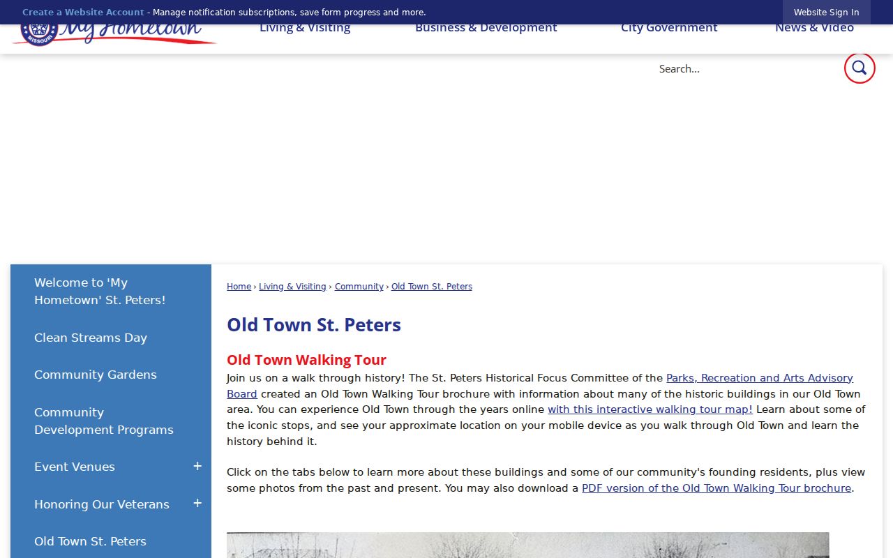
For that example trail, search the recorded instrument if indexed, compare legal descriptions and historic street wording, then look for the names, “North Missouri Railroad,” “Henry Gue,” “John Gue,” “blacksmith,” and St. Peters or Saint Peters in local directories, newspapers, maps, and historical-society holdings. The exercise shows why a specific city story, a recorder citation, and a dated directory are stronger together than a property anecdote alone.
St. Peters Previous Residents Gaps and Limits
Some gaps are documented. No St. Peters Sanborn map was located in the official Library of Congress search, though a nearby 1917 St. Charles Sanborn map can illustrate the type of building information such maps may show. It must not be treated as a St. Peters map. No official source reviewed here documented a citywide street renumbering or a recorder imaging cutover. When an address trail breaks, test number and street variants, legal descriptions, subdivisions, and county place names rather than inventing a local change date.
The St. Charles County Historical Society burial index supplies one early-history bridge, especially because state vital statistics did not begin until 1910.
Index results are leads to verify with the original church record and other dated evidence. Avoid reproducing full dates of birth, identity numbers, protected addresses, or sensitive details about living people. Missouri Safe at Home protects eligible participants through a substitute address and related confidentiality rules, so a protected address must never be reverse-engineered from an historic or current records trail.
House-history use. Researching a St. Peters address is appropriate for personal or family history, heirs, and local history. It is not permission to track, pressure, harass, or make unwanted contact with a living person. Preserve only the details needed to document the historical question.